
|
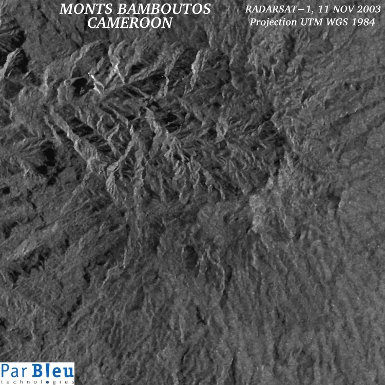
The RADARSAT-1 Synthetic Aperture Radar (SAR) image shown below has been acquired on November 11, 2003 (standart beam S7). The processing applied to the original SAR image is as follows:
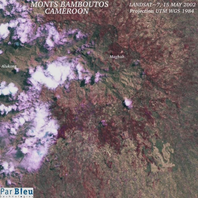
The subset of the processed RADARSAT-1 image that is shown below covers a 22.5 x 22.5 kilometers wide area. It shows the great caldera of the Monts Bamboutos. It is shown here at a spatial resolution of 30 meters x 30 meters, to enable the comparison with the LANDSAT-7 ETM+ processed image.
The information content of the two images is dramatically different, and complementary :
In the RADARSAT-1 image, the perception of relief (mountains and slopes) is very clear.
In the present context (landslide events), this represents an important information that complements obviously the thematic information contained in the LANDSAT-7 ETM+ processed image (shown below the RADARSAT-1 image), for the identification of future potential threats.
Another remarkable feature with respect to the LANDSAT-7 ETM+ optical image, is the insensitivity of the RADARSAT-1 radar image to the eventual presence of cloud cover.
Produced by PARBLEU TECHNOLOGIES Inc.
Operational partners of PARBLEU TECHNOLOGIES Inc. :
 |
 |
 |
| Privateers NV | Treemail | AP Formation |
Copyright (C) PARBLEU Technologies Inc., 2004